Tuesday, January 21, 2020

Bookmark and Share

Gallery: Hawaii 2019 - North Coast


Gallery (10 images): Hawaii 2019 - North Coast

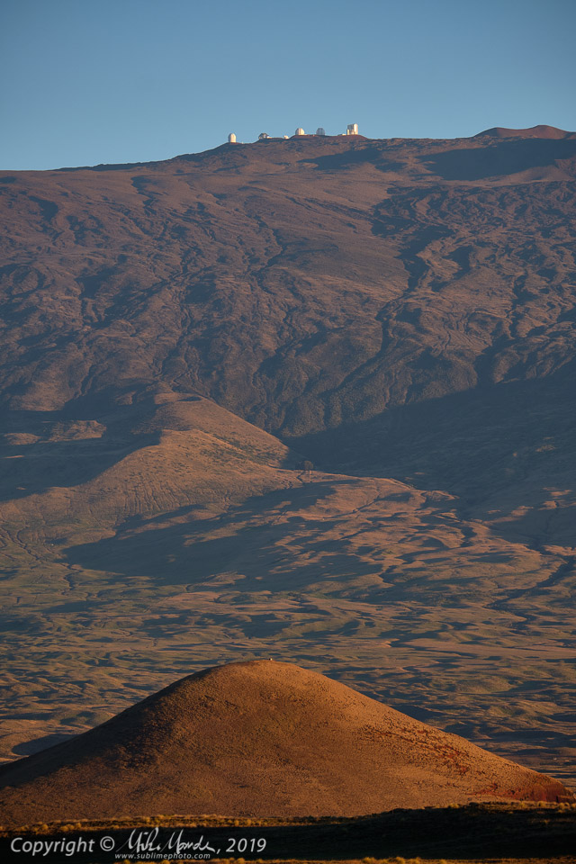
The above image doesn't really match the title of today's posting, but then I was fascinated by this view of the observatories on Mauna Kea for several reasons. More on that in a moment...

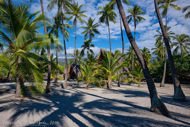
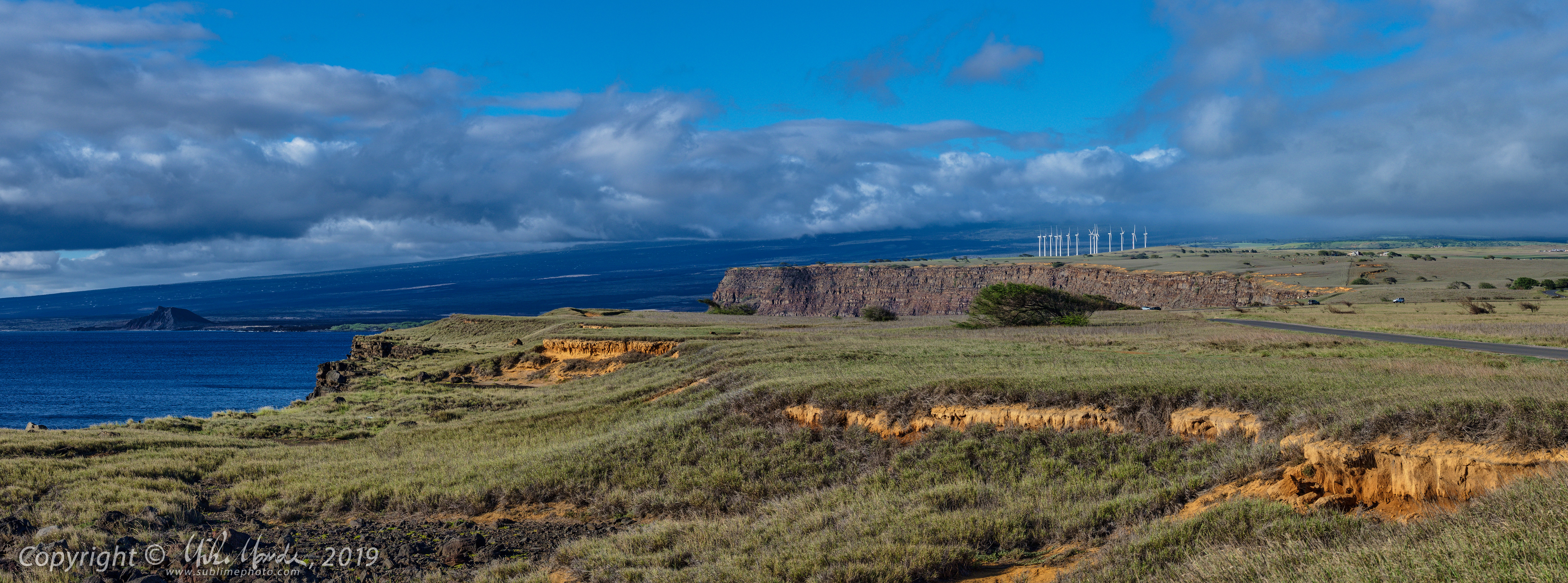
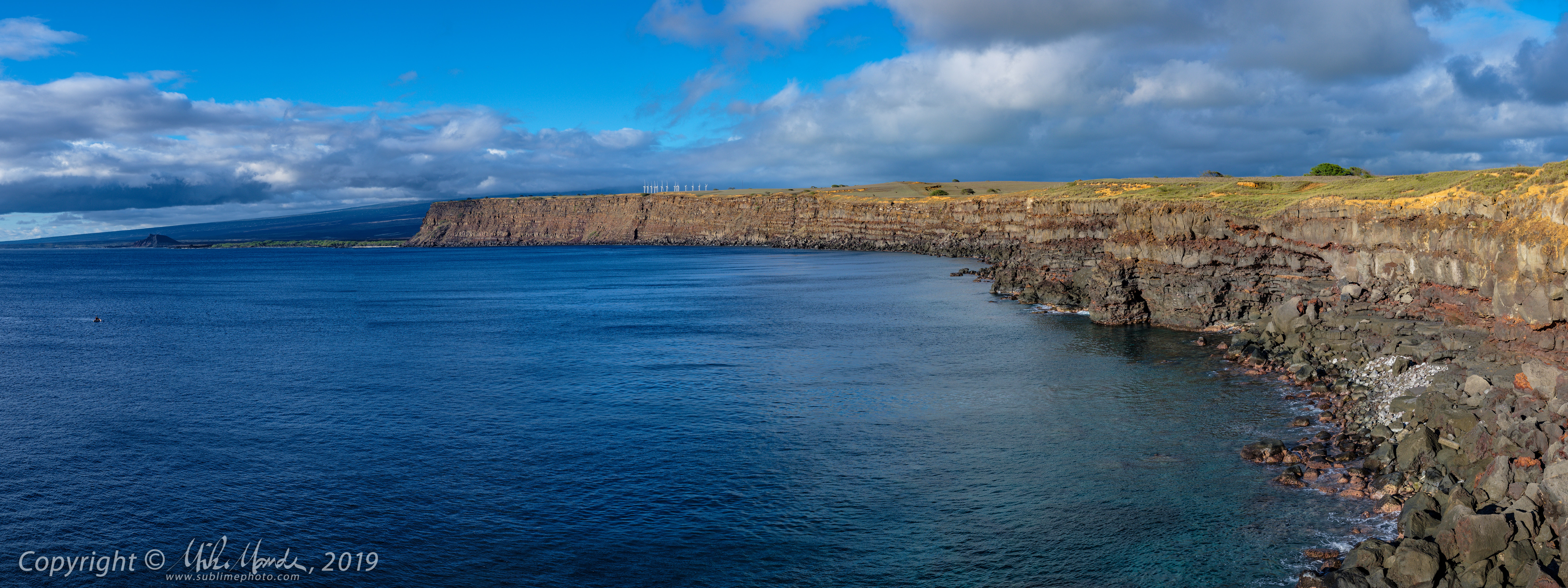
On this day, the weather was not very good with overcast skies and drizzle for part of the day. We first drove up to the north coast of the Big Island, to take in the views past Hawi, where the road ends and there is a trail going down to Pololu Beach. Since the weather wasn't great and I didn't want to leave my dad in the car for an extended period, I didn't hike down the steep trail at all. I only took a few shots from the road. After, we drove back to Kailua-Kona via the inland road, which leads through Waimea and then heads south along the western flank of Mauna Kea, past the Saddle Road.

Just south of Waimea, I was struck by the surprisingly clear view of the Mauna Kea observatories, and the fact that they didn't seem all that much higher than where I took the photo from, even though I knew them to be about 13,600 feet up, give or take! According to my GPS, and confirmed afterwards, the altitude at which I took this photo at was only about 2,600 feet, so that means those observatories were 11,000 feet higher than where I stood for the photos! That blew my mind since at the most, it visually seemed like they were only maybe a 3,000 or 4,000 feet higher than where I stood. The telephoto lens I used certainly magnified that impression too.

The peak of the small volcanic cinder cone (probably more of a splatter cone) that you see in the foreground, called Holoholoku, is at 3,265 feet, or only 665 feet higher than where I stood. However, that peak is a mere 4.8 km away whereas the observatories were 29 km distant. So perspective and telephoto compression really serve to give quite an illusion here, at least to my eyes! Maybe you'll see it differently?

For fun, I tried to figure out which observatories one is seeing and after studying a map of the Mauna Kea observatories and judging by the angle I was shooting from, I came up with the following: from left to right we have...

Canada-France-Hawaii Observatory
Gemini Observatory
University of Hawaii 2.2 Meter Telescope (the one with the dome protrusion)
The twin Keck Observatory domes
Subaru Telescope

Since even back in 2008, my dad did not feel well at the high altitude of Mauna Kea's summit and we had to cut our visit there short, this year we decided not to drive up at all. One day, I want to return there and photograph all the observatories up close...

Link to: All the blog posts from my 2019 Hawaii Trip

Sunday, January 19, 2020

Bookmark and Share

Gallery: Hawaii 2019 - South of Kona


Gallery (80 images): Hawaii 2019 - South of Kona

On this day, I spent a lot of time photographing palm trees at the challenging to pronounce (a tongue-twister really) Pu'uhonua O Honaunau National Historical Park. I love palms, the spiky arcs of their fronds, their often curved and crooked trunks, and especially the shadows they cast on the ground. The last time I was at this park back in 2008, I didn't take very many photos since the one time we were there, it was mostly overcast, and I regretted at the time not being there when the weather was better. This time I made up for it, as you'll see in the gallery! Generally speaking, the weather on this Hawaii trip was fantastic, which made for many great photo opportunities.

On the last trip in 2008, I also missed out and didn't visit the St. Benedict's Catholic Church, better known as the famous "Painted Church" since my dad and my aunt went there on the day I got sick and we never went back after. This time my dad and I went there and he patiently waited while I took tons of shots inside and out. I also walked back along the road to photograph a palm tree that seemingly was confused about which way it was supposed to grow! Another shot in the gallery right after, shows a frequent occurrence on the Hawaiian Islands, where the lush tropical greenery starts climbing up and along power poles and power lines.

Later that evening after dinner, we drove down to Milolii again after dark, to visit my mom's memorial one more time and to see the solar powered LED roses lit up at night. I took a bunch of photos but my favourites were at the end, when I started using a flashlight to selectively light-paint, in order to highlight the coral stones of the memorial and the bushes in behind. I had many different versions, with a few different ones in the gallery, and my overall favourite one is shown below. The real red roses we put in the vase, the ones on the left, were already looking rather wilted after being out in the hot sun for a day. A larger version of the below shot can be seen in the gallery of course...


Saturday, January 4, 2020

Bookmark and Share

Gallery: Hawaii 2019 - Milolii and South


Gallery (30 images): Hawaii 2019 - Milolii and South

On this day, my father and I visited my mother Ingrid's memorial, just outside the village of Milolii. The white coral, which my aunt, my father and I placed back in 2008 after we had scattered my mom's ashes in the ocean near there, has turned a dingy shade of gray over the last 10 years. I decided to flip all the coral pieces over to expose their somewhat whiter undersides, which has been done in the above shot. I helped my father up the lava and gave him my camp chair to sit in while I hammered in the stakes that hold up the two solar-powered LED rose bouquets. The red roses on the left are real. Originally, the memorial looked different, with my mom's full name spelled out, but then it was vandalized at some point. A few years back, when my father and Franziska were in Hawaii, they fixed it up and simplified it to just my mom's initials.

To see some images of the original memorial, see my blog posting from 2008 here (opens in a new window)...


After fixing up the memorial, my dad and I headed to the south coast of the Big Island, where (very important!) we visited the famous Punalu'u Bake Shop that serves up some amazing pastries and donuts. We had lunch there, each having a coffee and three donuts... which we both decided was at least one donut too many. They were big! Not a particularly healthy lunch that day, but it was good...

We also stopped at the parking area where one can hike to the Green Sand Beach near South Point, and I took numerous photos of the coastline there. Below are two panoramas I shot from there. When you click them, they will open larger in a new window.


When you open this next one, and also in photo 23 of the linked gallery, you can really see the many layers that make up the island's landmass, seemingly made of alternating Pahoehoe and A'a lava flows. In some areas, it makes the coastline almost look like someone has cut into a gigantic cake...